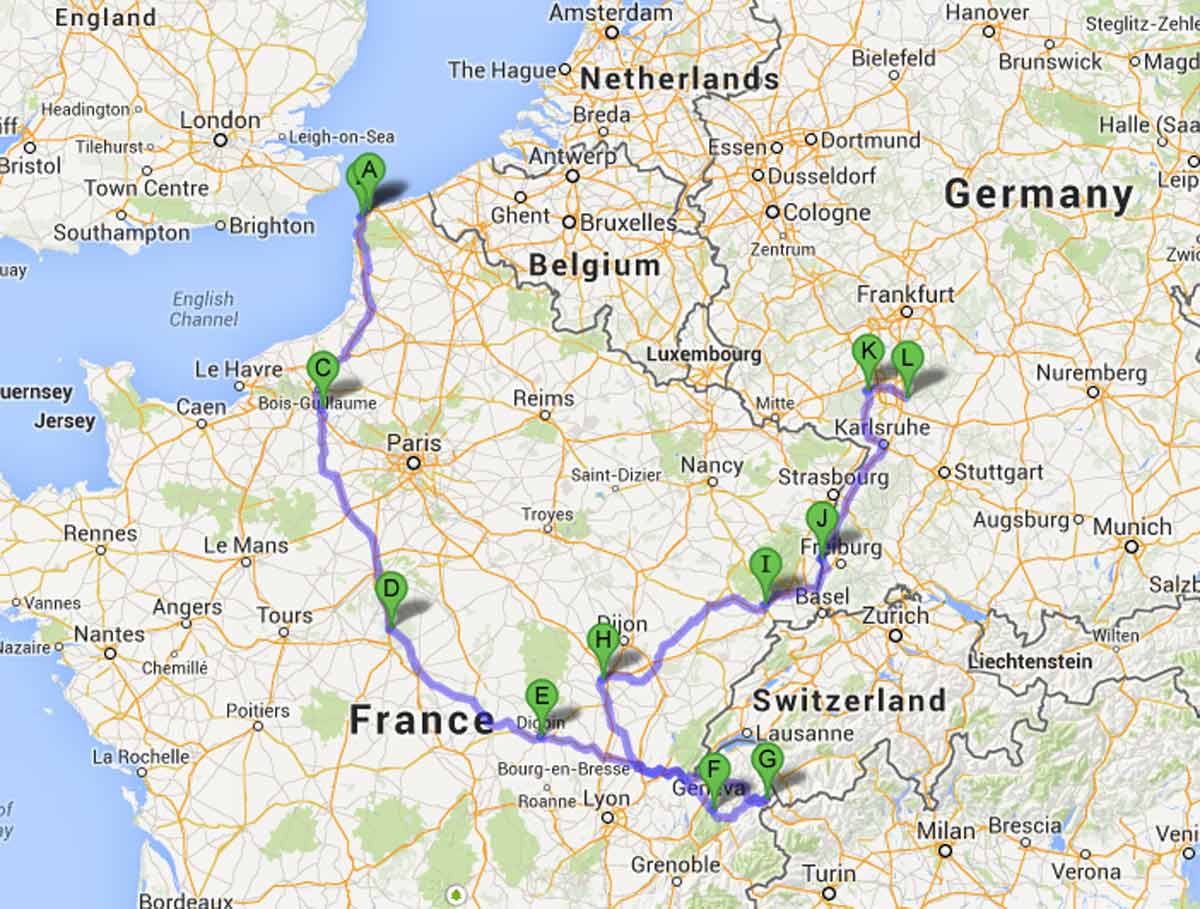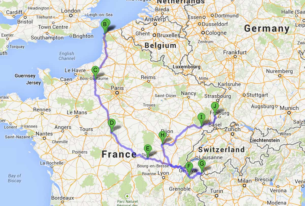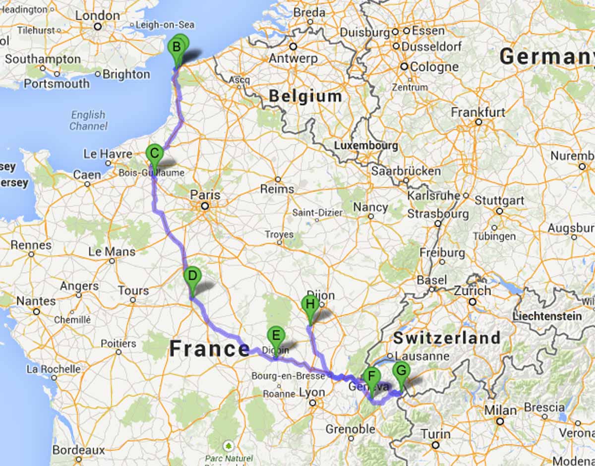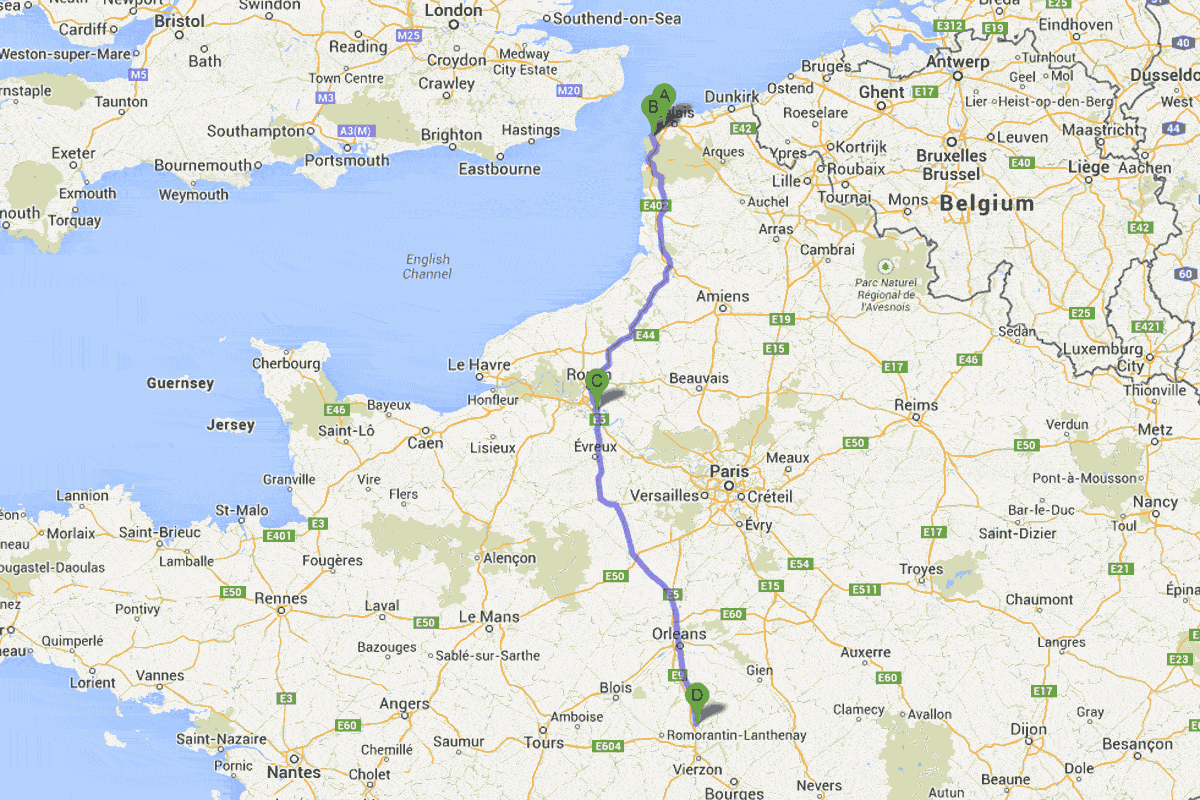

Track to Date
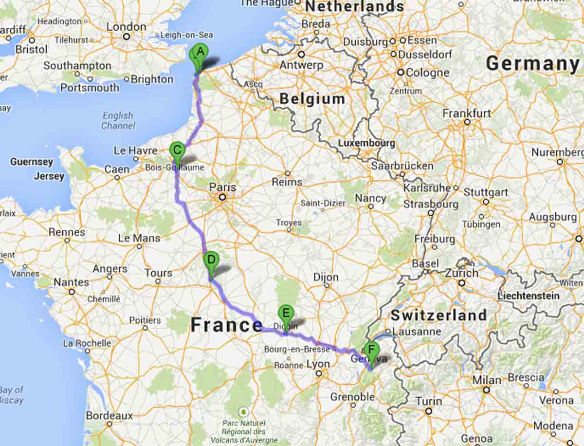
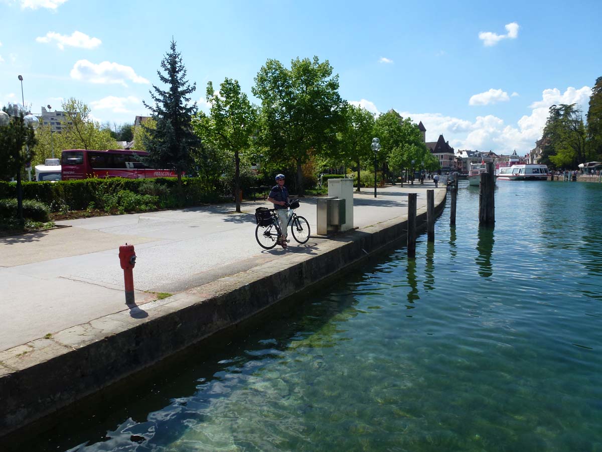
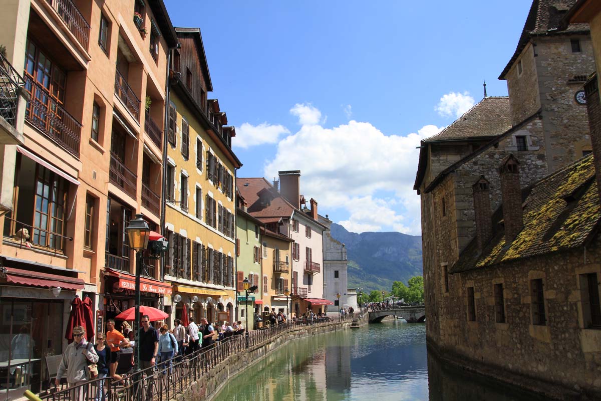
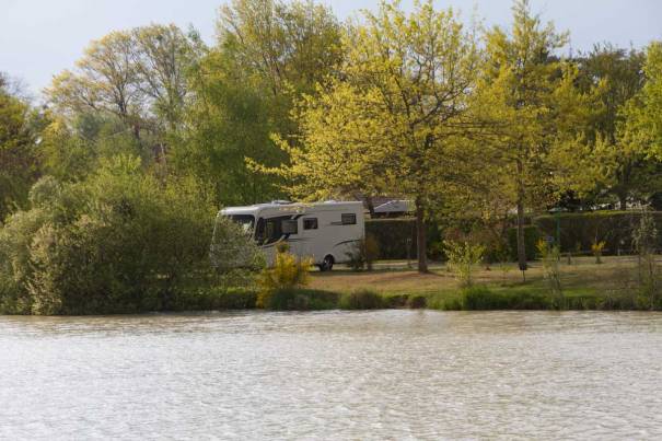
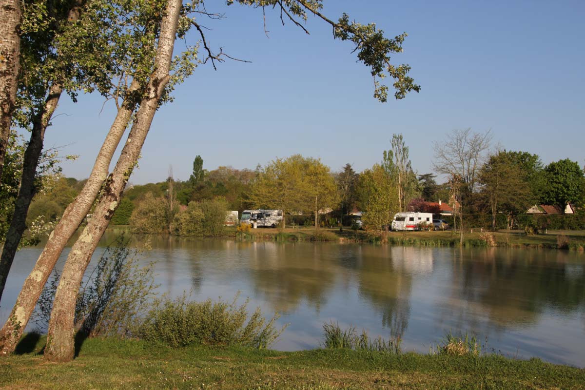
After our stay in Heidelberg we drove down through Switzerland and spent the night at La Balme de Sillingy ( N 45.971242 E 6.031601 ), an aire by a lake near Annecy. The forecast for Northern Europe wasn’t great and we wanted to head south quickly, so we took the Autobahns and Swiss motorways to the French border. We had to pay €27 for a 10 day permit for the Swiss roads, valid for a year.

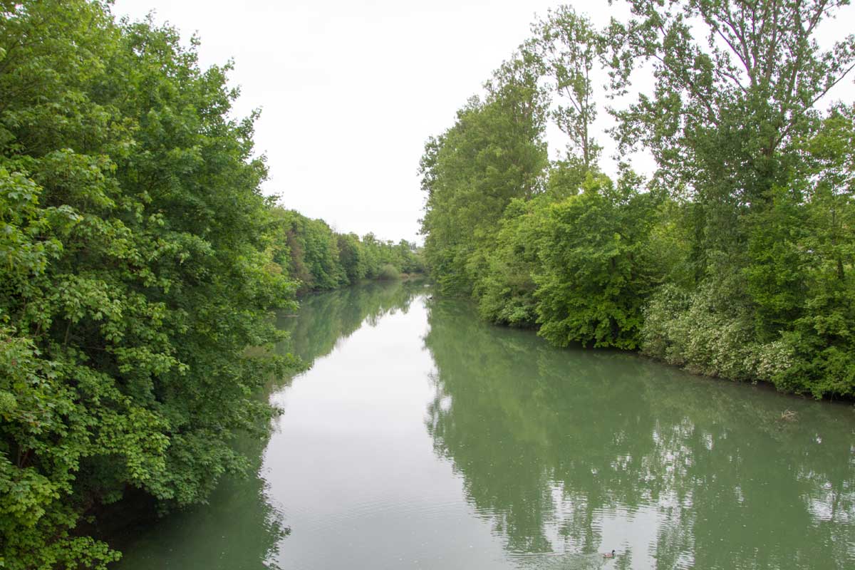
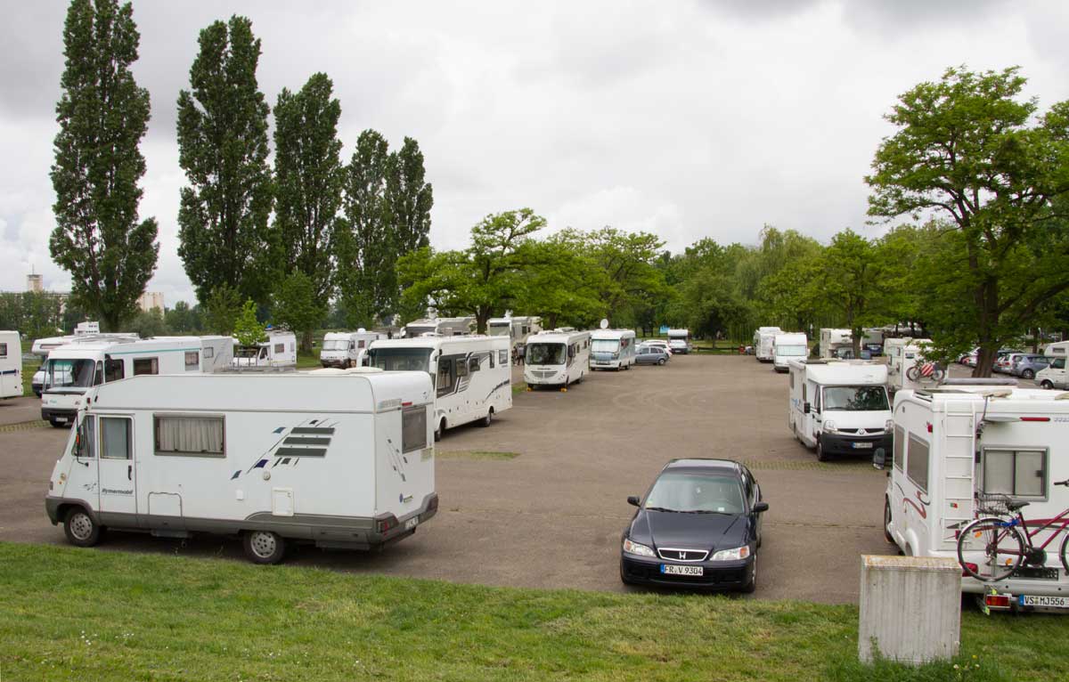
La Balme de Sillingy
The next day we drove down to Chambery, just south of Aix les Bains, to stock up on paté, camembert , French bread and other essentials. After Grenoble we took the N85 (Route de Napoleon) through the Alps to Pont du Fosse.

Lunch Stop just off the Route Napoleon

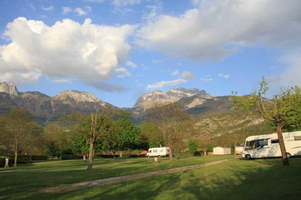
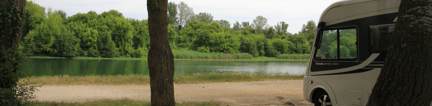
Aire at Pont du Fosse
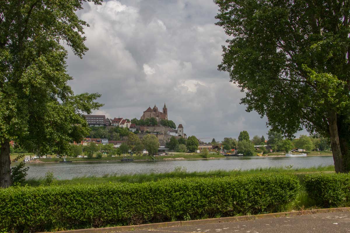
The aire at Pont du Fosse (N 44.667226 E 6.234741) is a large woodland stopover, very good for dogs, and a short walk along a mountain river to the village.
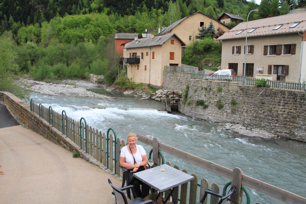
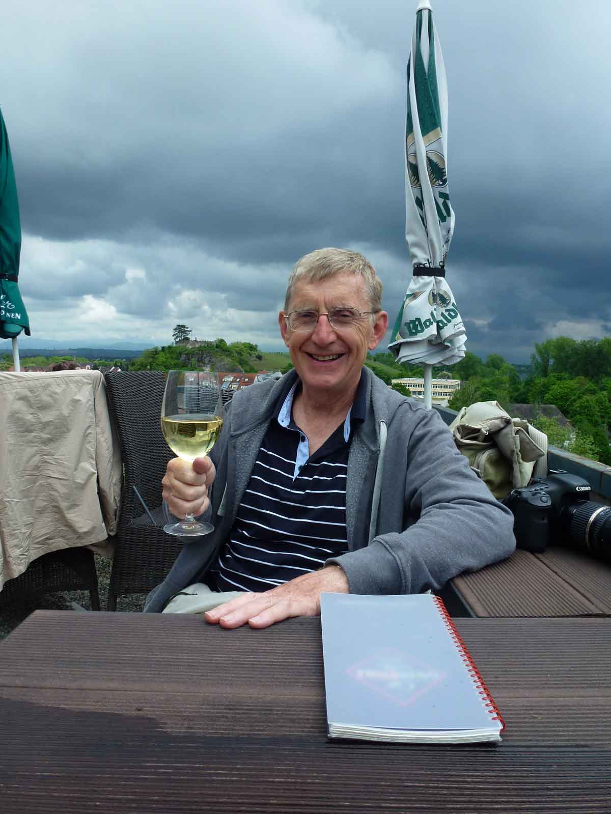
Wine on the Terrrase at Pont du Fosse.

Sudden influx of visitors into aire whilst we were having Breakfast.
We set off early (10.30am!) for the 80 mile trip down the south side of the Alps to Provence. Driving through Sisteron Nia spotted what looked like a nice aire for our lunch stop and did a sharp left.

Aire at Sisteron

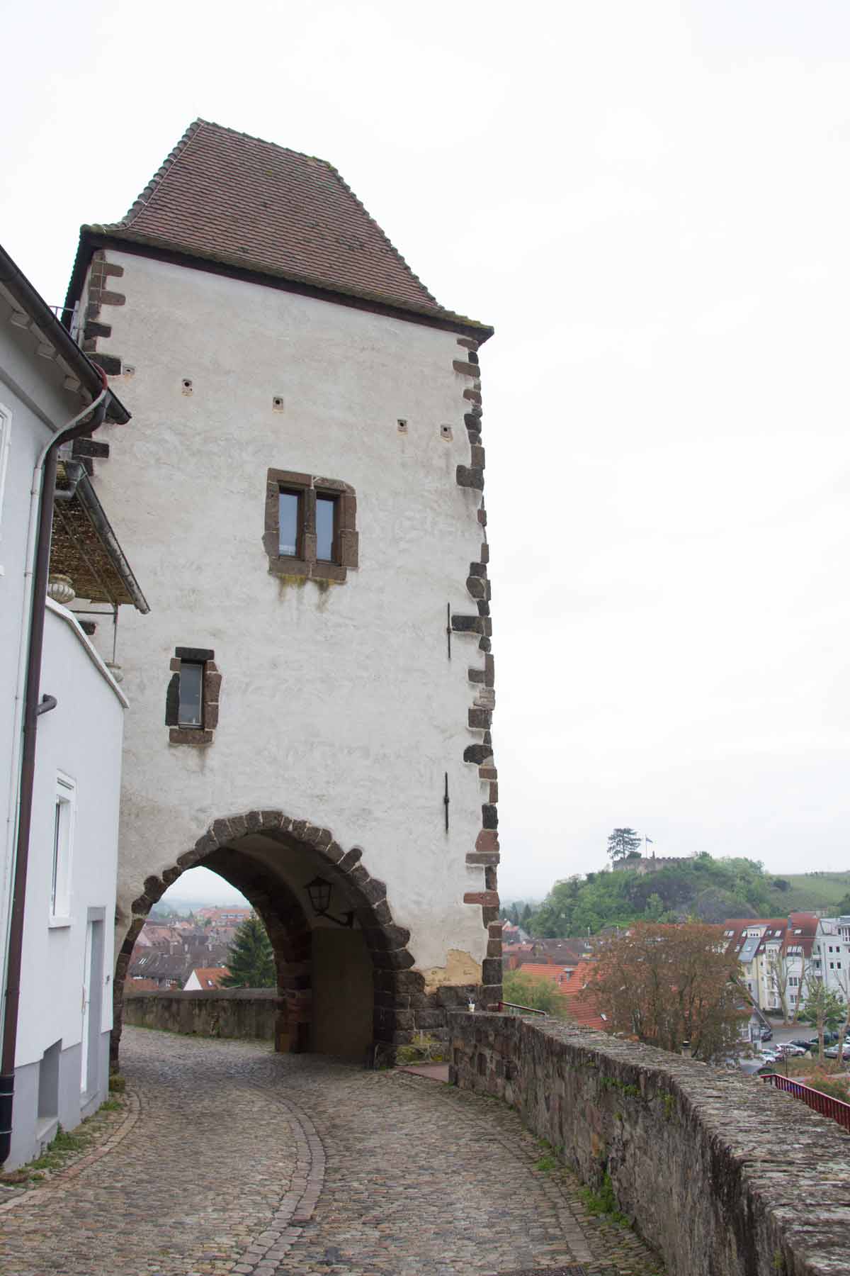
Citadel at Sisteron

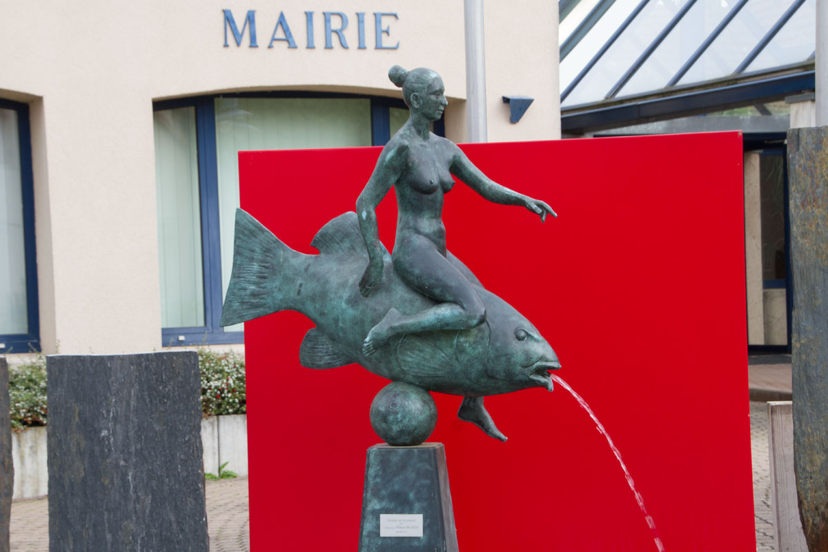
Sculpture at Hotel de Ville

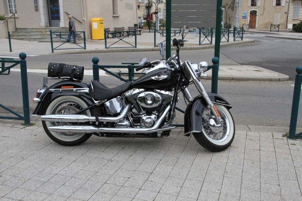
Harley-Davidson
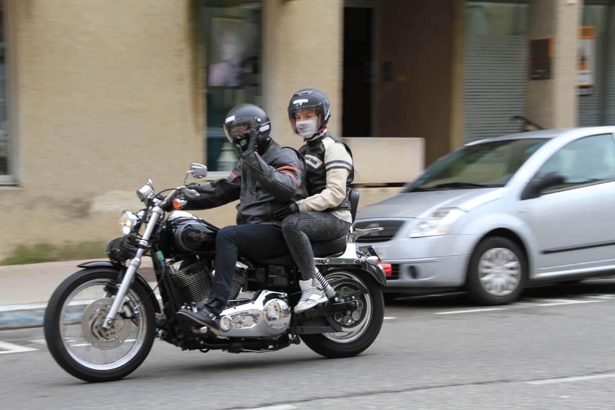
Sisteron appeared to be the lunch stop for a Harley-Davidson convention and the beautiful beasts were everywhere.

Easy Rider
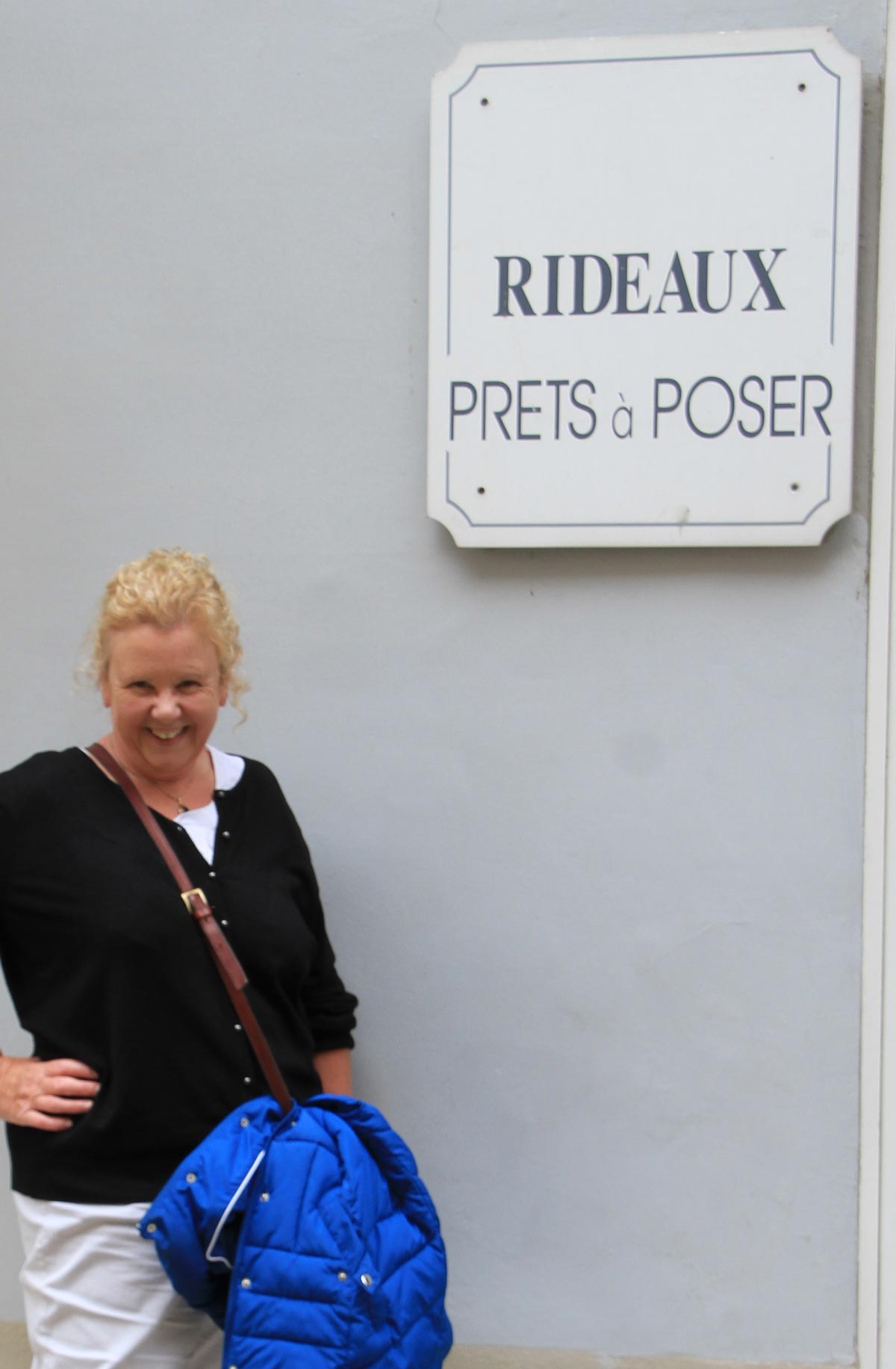
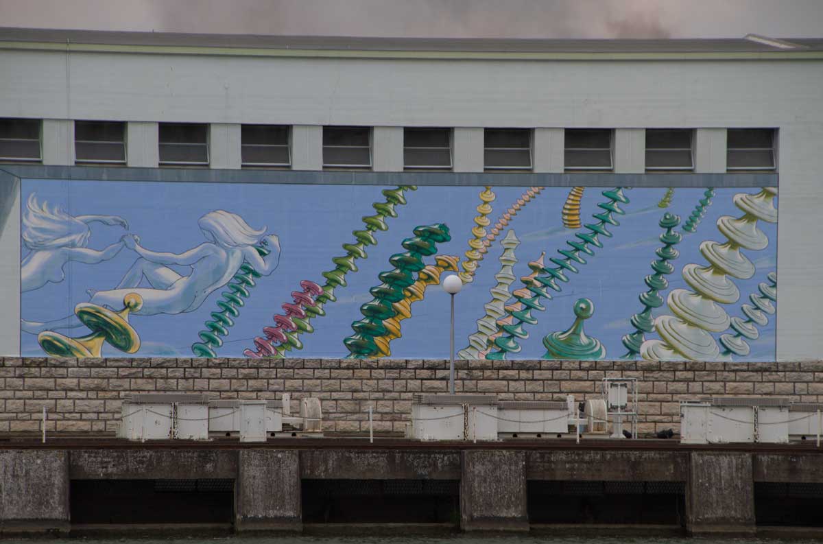
Prêt a Poser

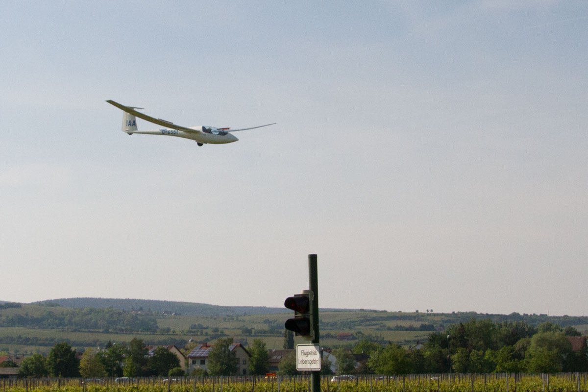
This glider was suspended in the centre of Sisteron to advertise a gliding meet at the local airfield.

Looking Over Sisteron from the Path up to the Citadel.

Orchards
Moving on down to Provence we passed thousands of acres of orchards, trees all covered with netting. Against the sun? Or Frost? We know someone who’ll know.
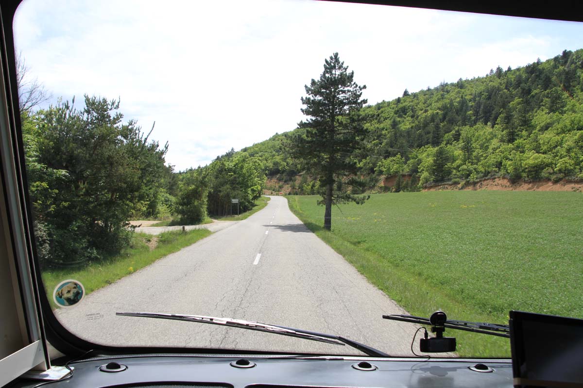
Road into the Luberon.

Driving into Provence
The sun came out as we reached Provence.

Swimming Stop
We turned off towards Forcalquier and stopped at this deserted lake for a swim (well three of the party swam). We are in the Luberon, the mountainous bit of Provence made famous by Peter Mayle and ‘A Year in Provence’.

Destination
We stopped for the night at the aire in Saint Michel L’Observatoire ( N 43.910152 E 5.715058 ), named for the astronomical observatories established on the hills nearby in 1937.

Aire at Saint-Michel
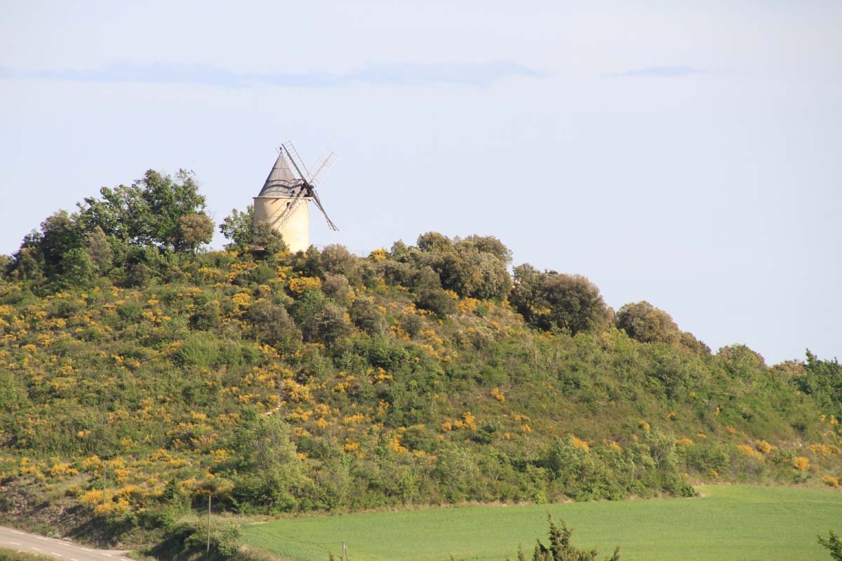
Windmill Overlooking Aire
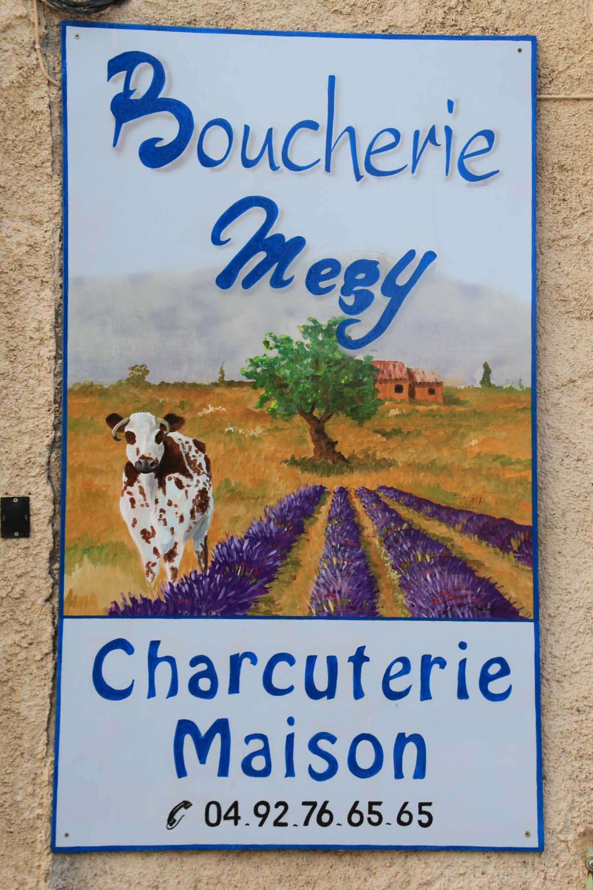
The village
There is a village close by with a small café, a boulangerie, one or two shops and a restaurant. And not another English tourist in sight.