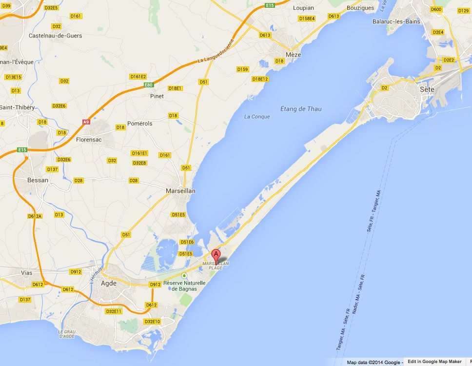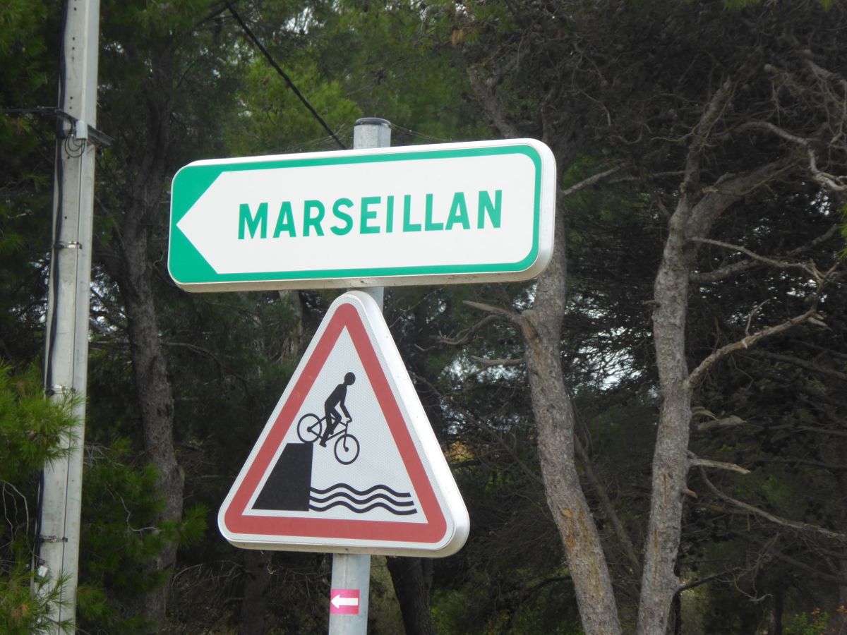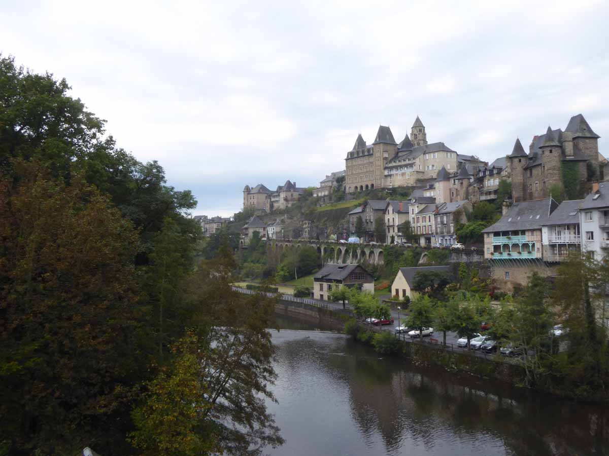

Marseillan Plage to Aigues-Mortes
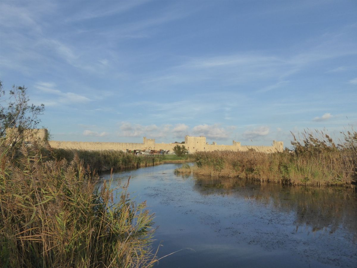
Today (Thursday 16th) we returned to the aire at Agues Mortes ( N 43.565712 E 4.19593). We were here a few months ago en route to Arles. This is the fabulous thirteenth century walled city which was built by Louis IX (Saint Louis) as a departure port for the crusades.

Mavis outside the east wall.
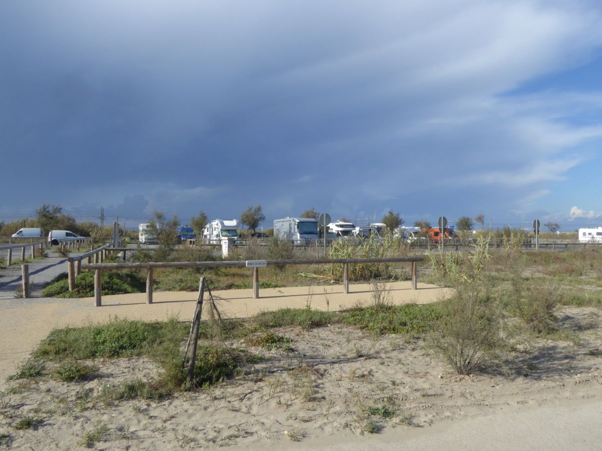
The aire is a large car park with water and drainage facilities. It was free to stay here when we visited this time; normally it is a few euros but the ticket machine was broken and the entrance and exit barriers had been removed.

The Aire from the Ramparts

Porte de la Reine
This is one of the tower gates on the east wall. These were often used as places of refuge, in the fights between the catholics and the protestants. The towers still bear marks left by missiles.

Saint Louis
We paused at the Place St Louis under the gaze of the man himself. He has acquired a bottle of wine since we were last here.
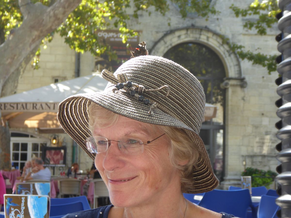
Jane
Butterfly perched on Jane’s hat. Must be a good omen.
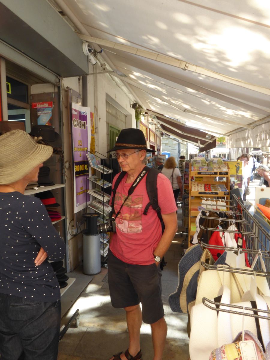
The local hat shop
Keith tried on a few hats but couldn’t be persuaded to buy one.

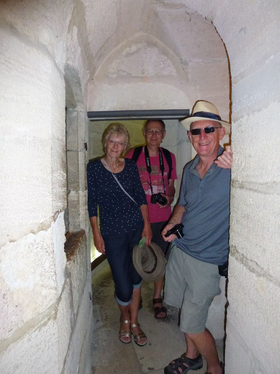
The Ramparts
We took a stroll around the ramparts. About a mile around and at only €7.50 well worth the money. Dogs not allowed; we left Penny and Colin guarding the motorhome. Or possibly snoozing…

The North Wall with the Constance Tower at its western end.
Inside the Constance Tower
Built in 1248 this tower is all that remains of the castle built in Louis IX’s reign. The upper room was used to imprison protestants in the 18th century, amongst them Marie Durand, a famous figure in the history of protestant resistance. She was imprisoned for 38 years in an attempt to force her brother, a pastor, to give himself up.
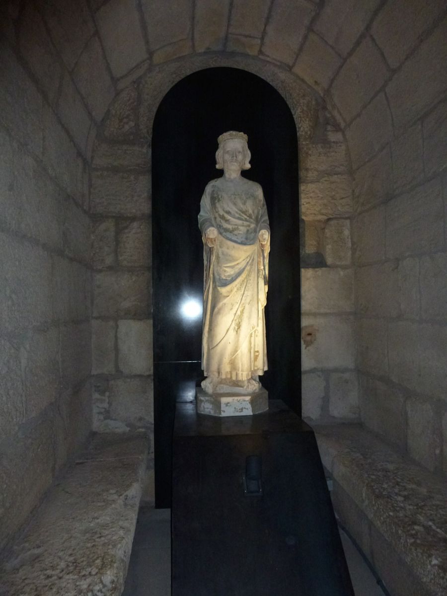
Saint Louis
Saint Louis kept popping up on the tour of the Ramparts.

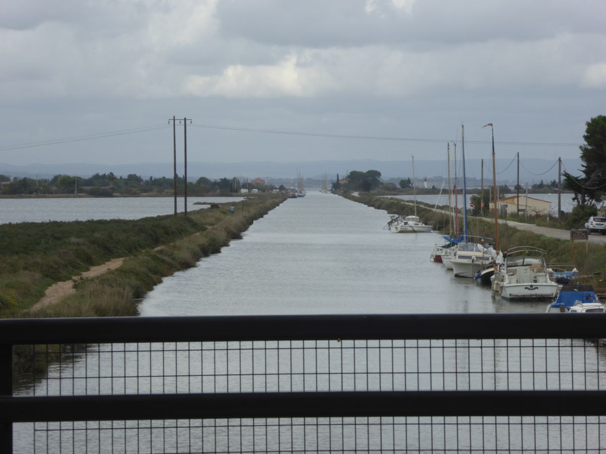
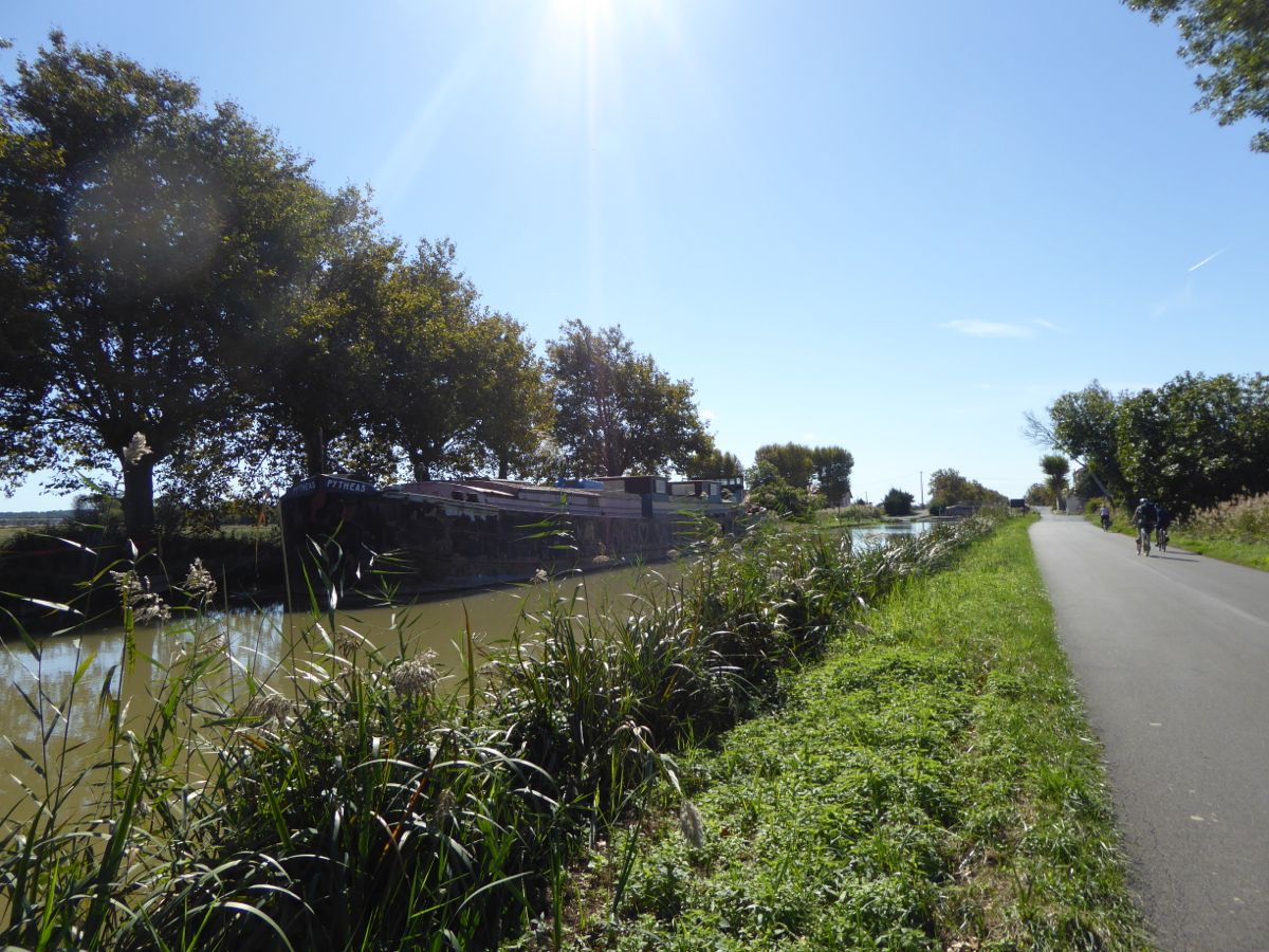
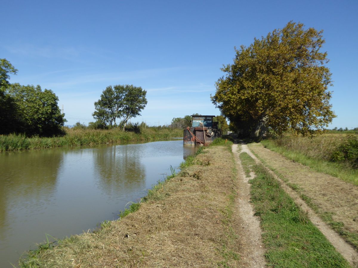
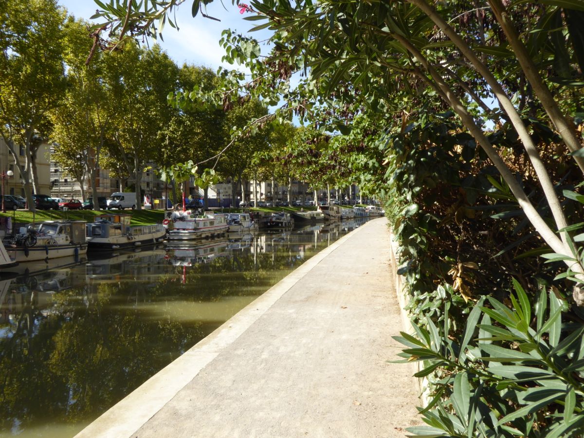
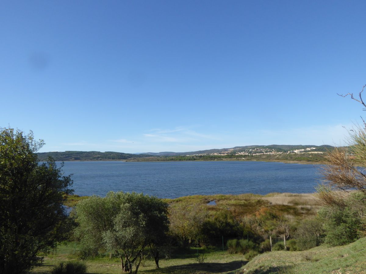
Canal du Rhône à Sète
There is a good view of the canal from the tower.

Rooftop Gardens

Looking over the city to the salt pans beyond.
Large amounts of salt are still harvested from the extensive salt pans around here.

Looking west along the south wall
The south wall
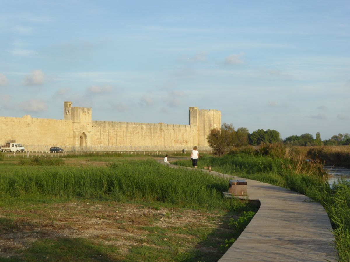
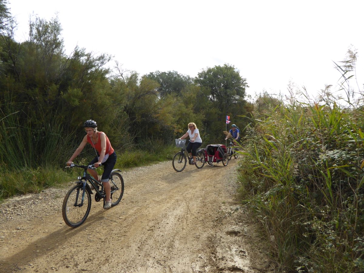
Walk to the south of the city
After the ramparts we took the dogs along a duck boarded walk to the south of the city.
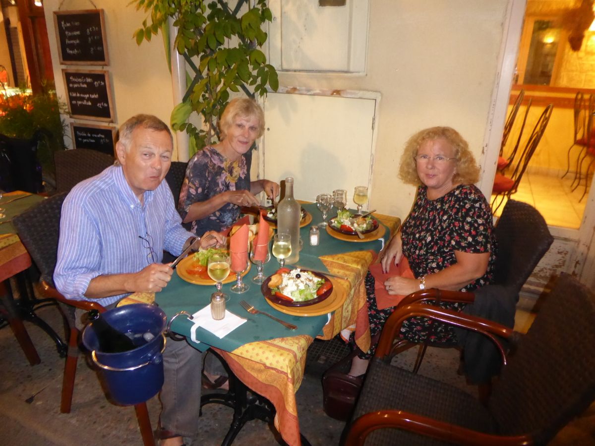
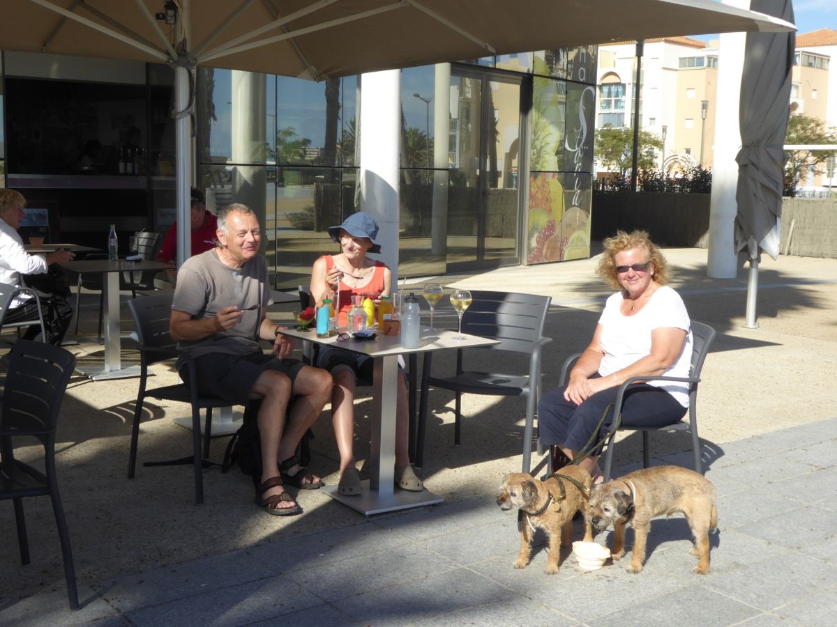
La Pignata
We ate at this friendly restaurant just off the Place St Louis.

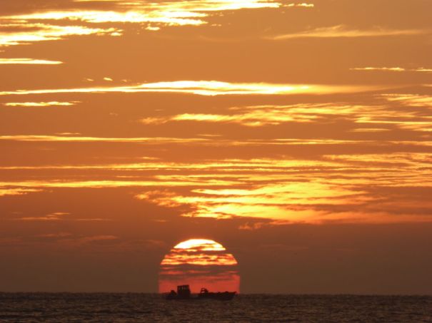
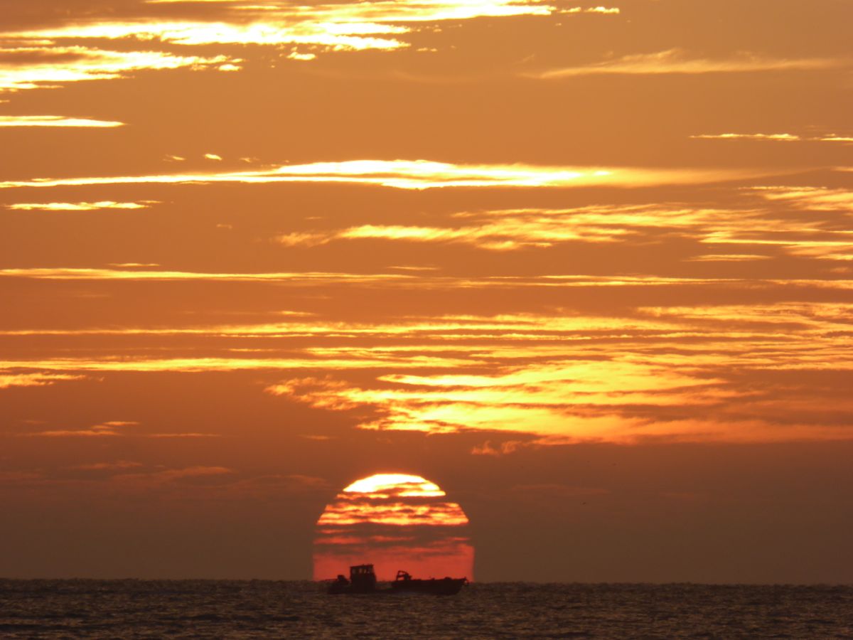
Sunset over the city

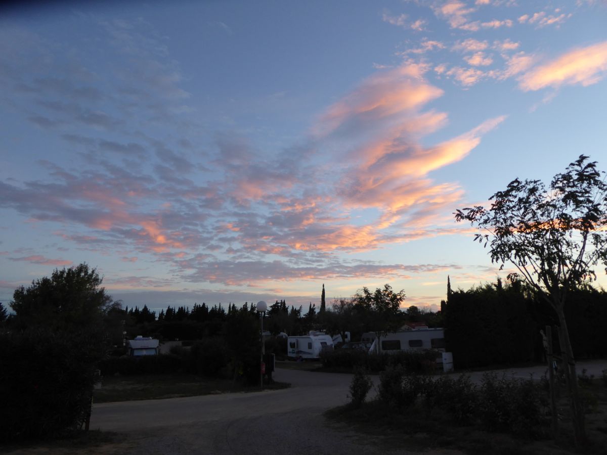
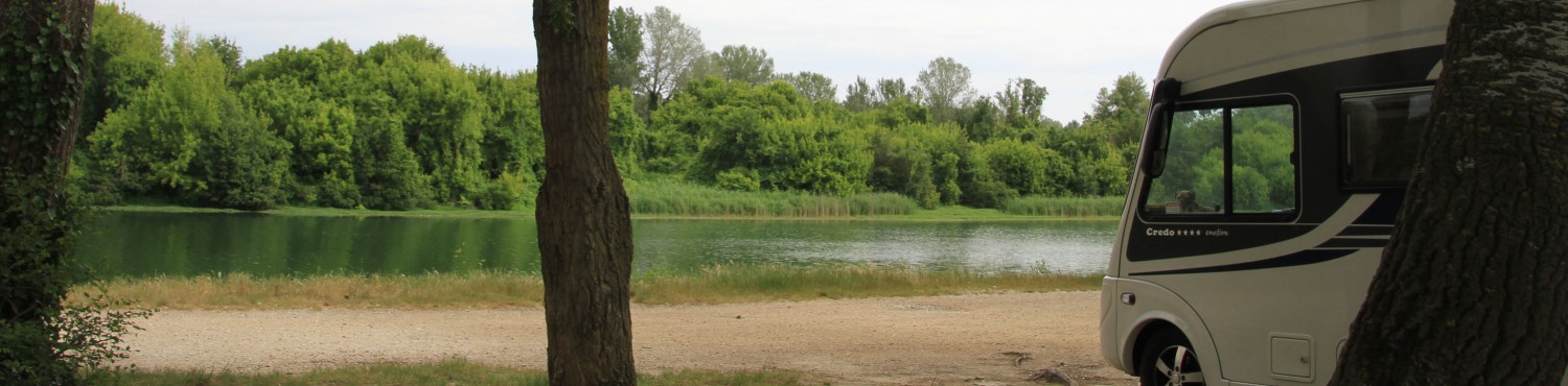
View from the aire
On Friday morning we separated from Keith and Jane, who are heading back home. We are heading towards Saintes-maries-de-la-Mer and points east.