
Route to Sully sur Loire
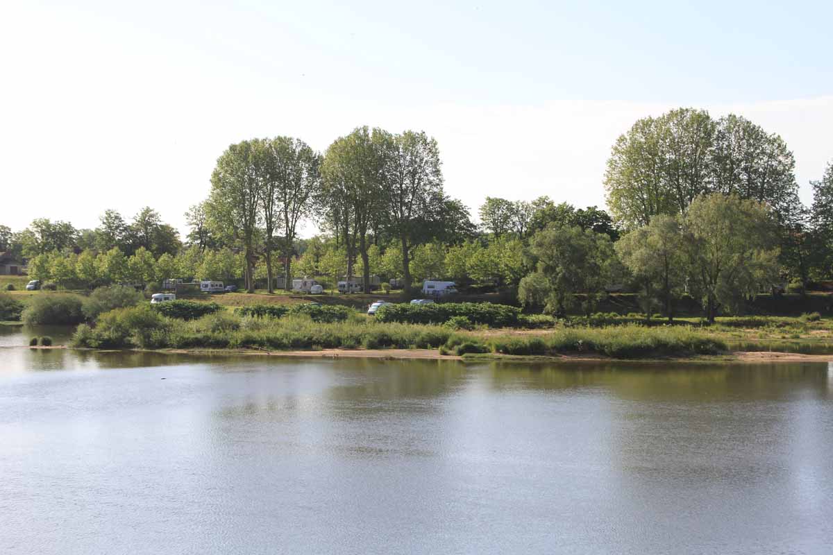
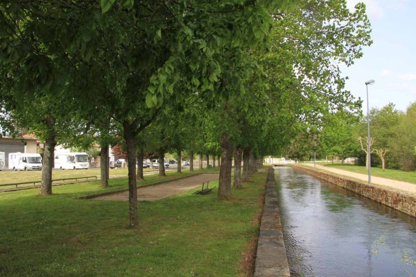
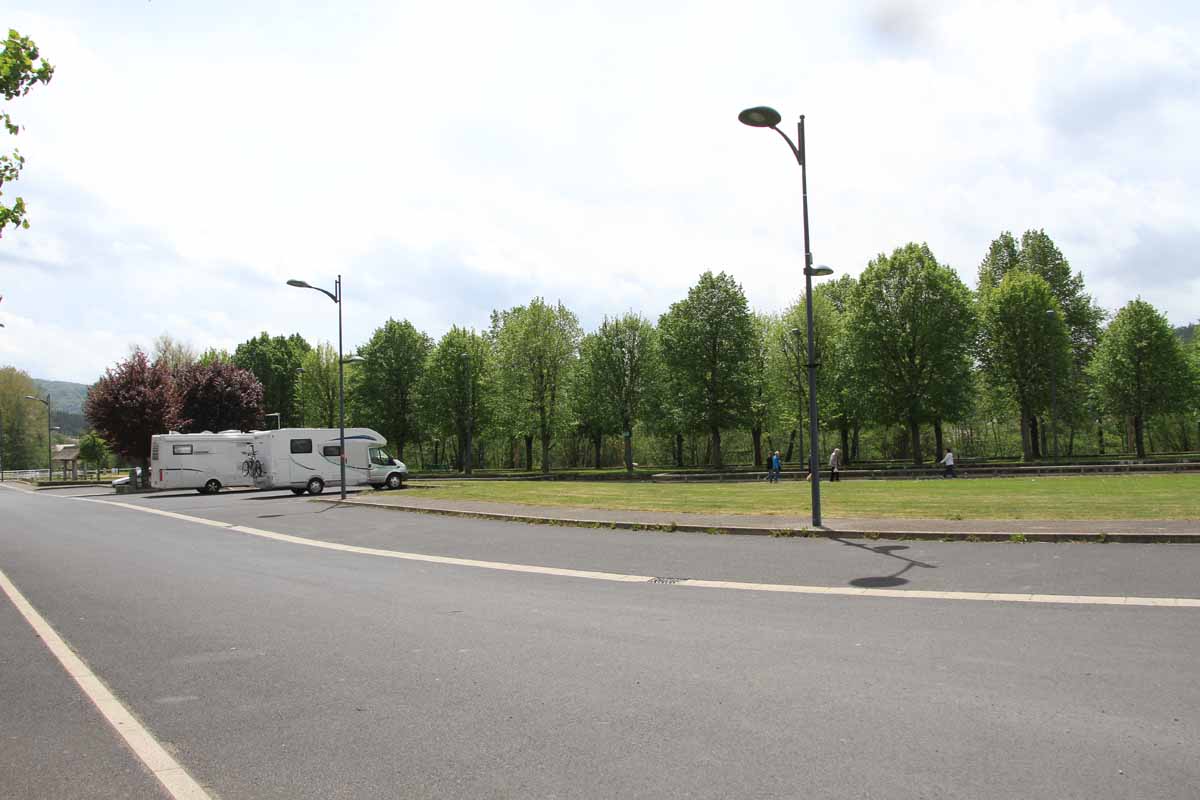
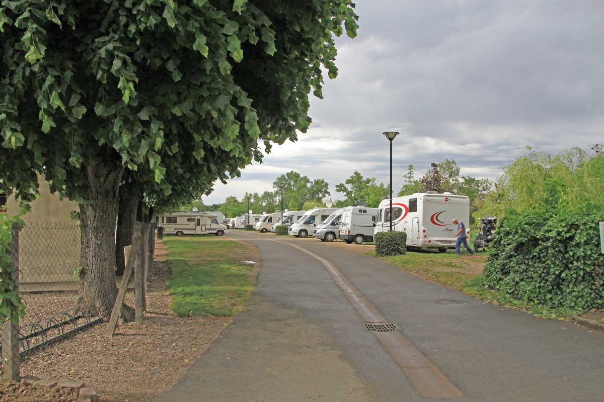
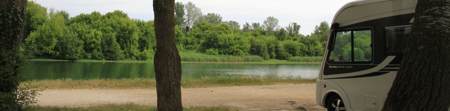
We drove 80 miles north west , with the Loire on our left all the way, to Camping ‘Le Jardin de Sully’ at Saint Père sur Loire (N 47.77008 E 2.36191). This is a small ACSI campsite on the north side of the Loire, opposite Sully-sur-Loire. We are parked about 50 yards from the river bank and a small gate in the fence gives access to the walking and cycle path which runs along the river here.
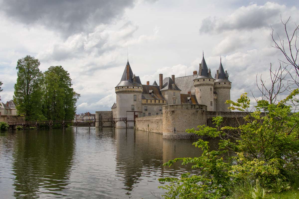
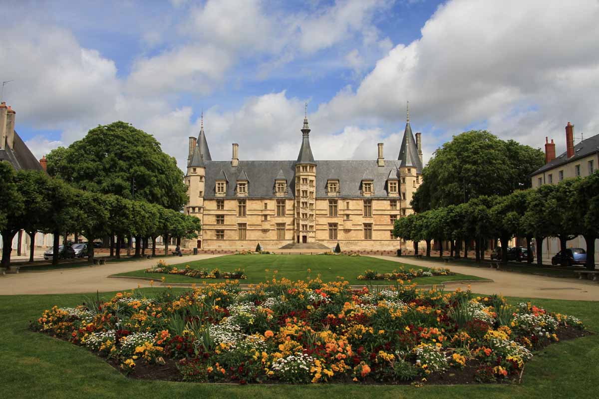
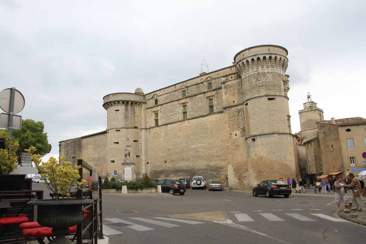
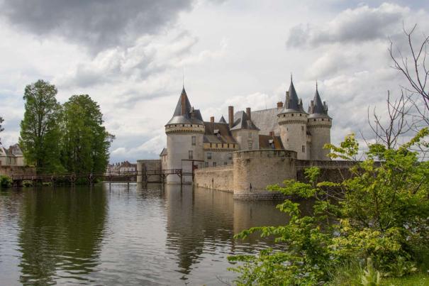
Chateau at Sully-sur-Loire
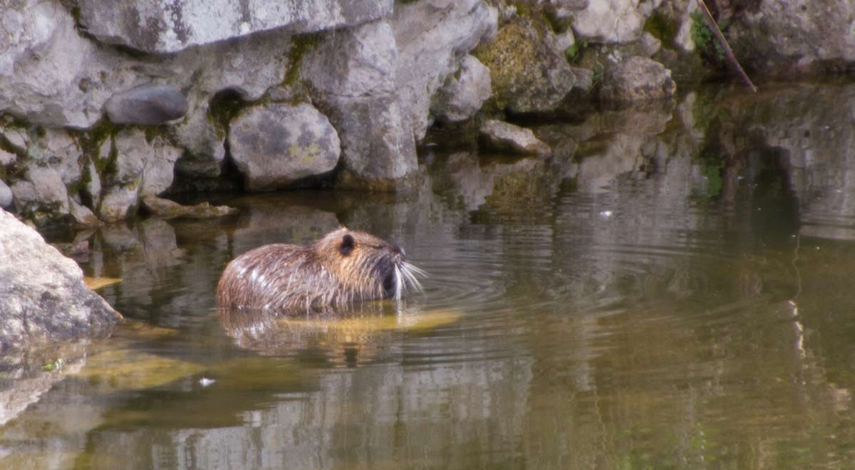
Coypu
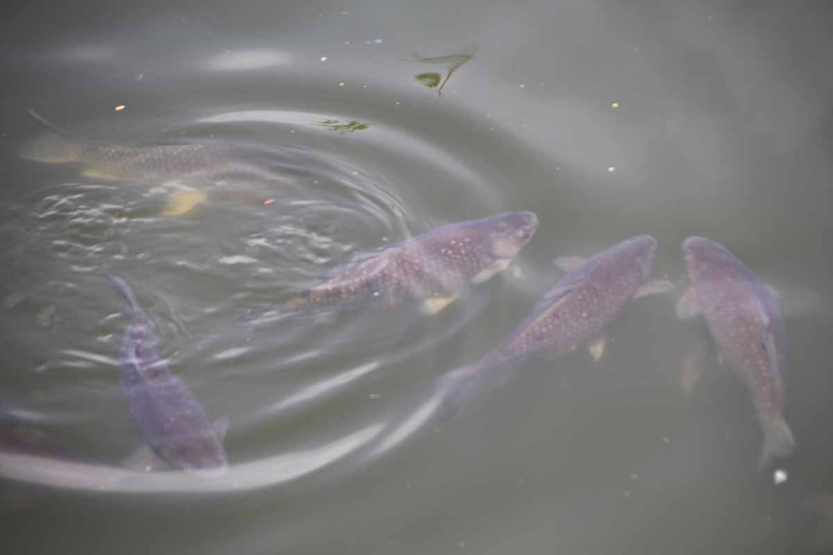
Carp
The castle moat is packed with carp, and the occasional Coypu, or ‘Ragondin’ as they are called here.
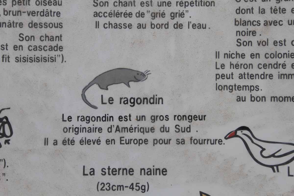
Ragondin
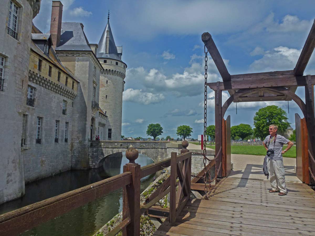
Drawbridge to Château
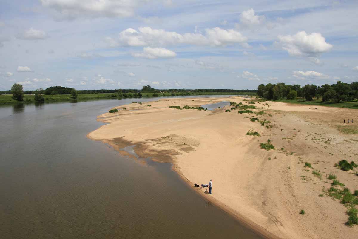
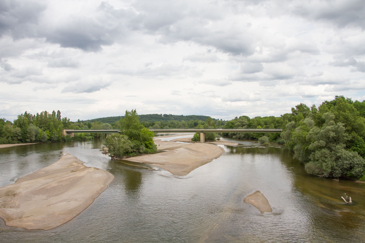
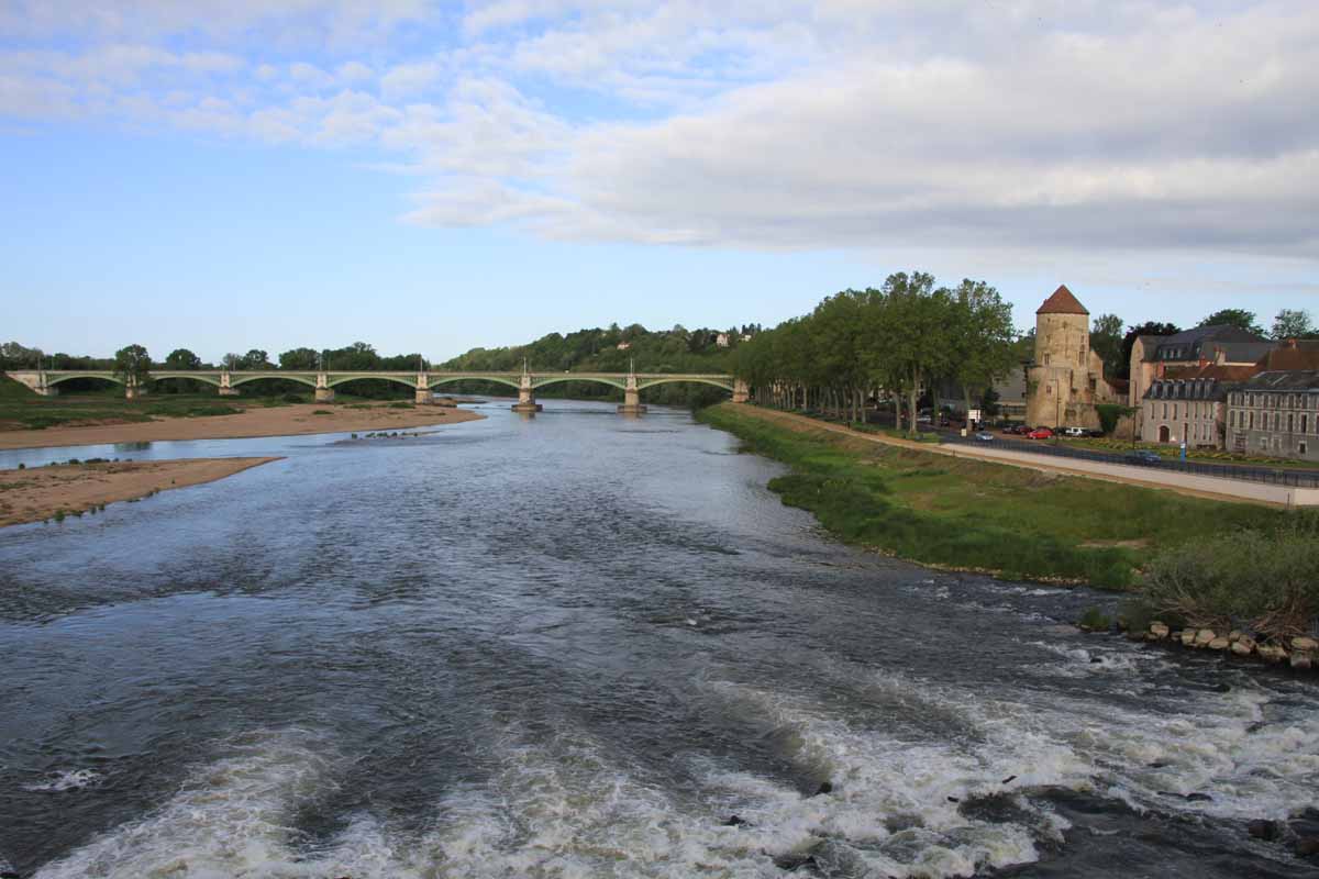
Looking Upstream from the Bridge over the Loire
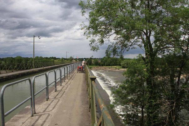
The campsite is on a ‘Grande Randonée’ or GR, one of the national French footpaths.
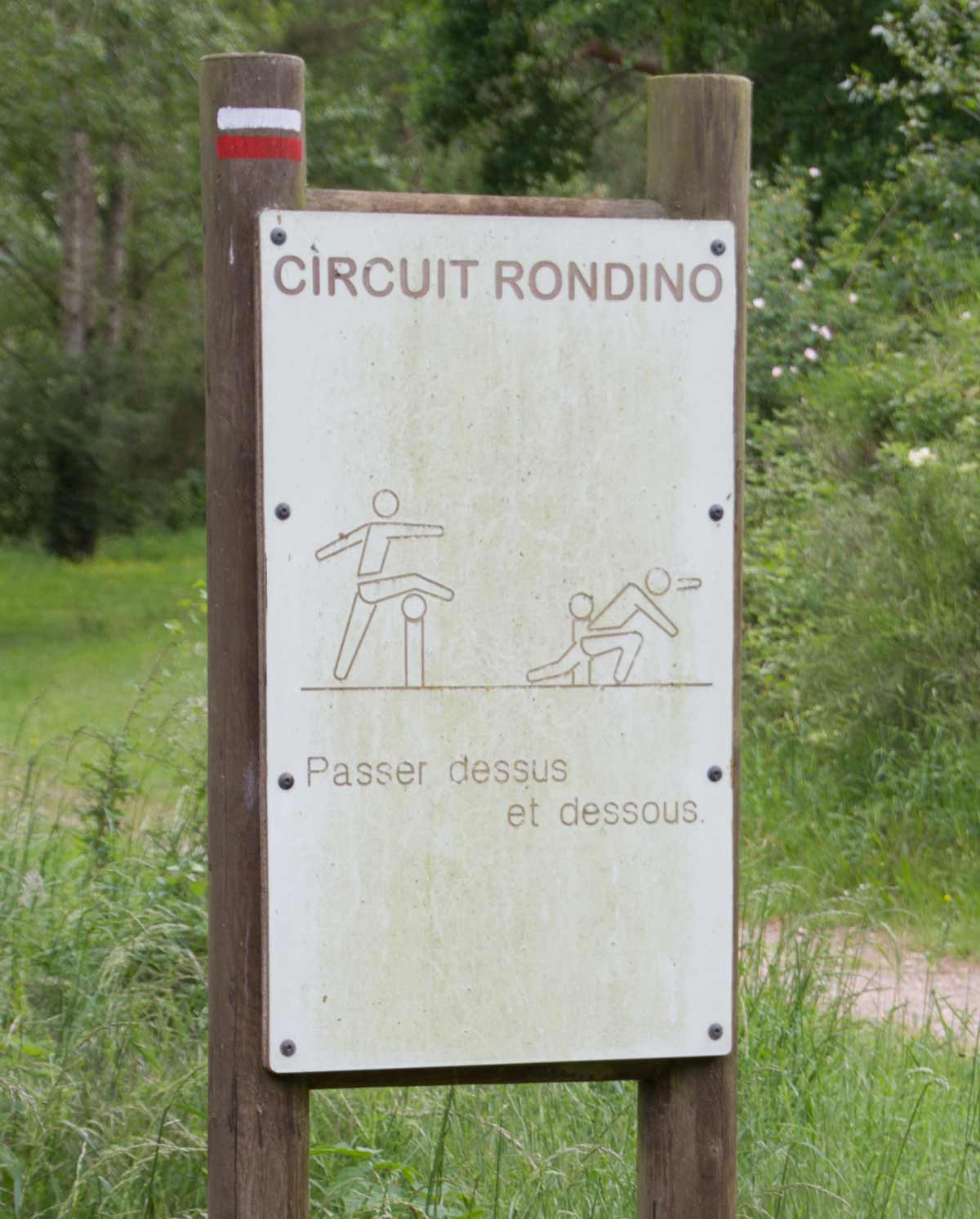
Circuit Training
There is a long loop of suggested exercises at intervals attached to this segment of GR.
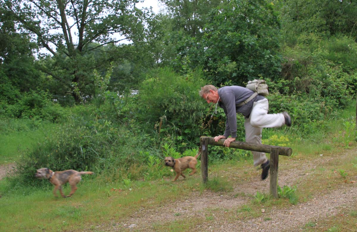
Not the Advised Technique
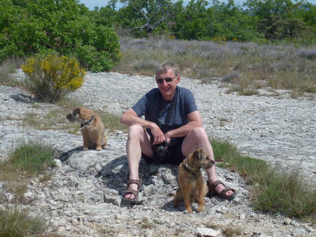
I couldn’t get any of the other 4 members of the party to jump over with me.
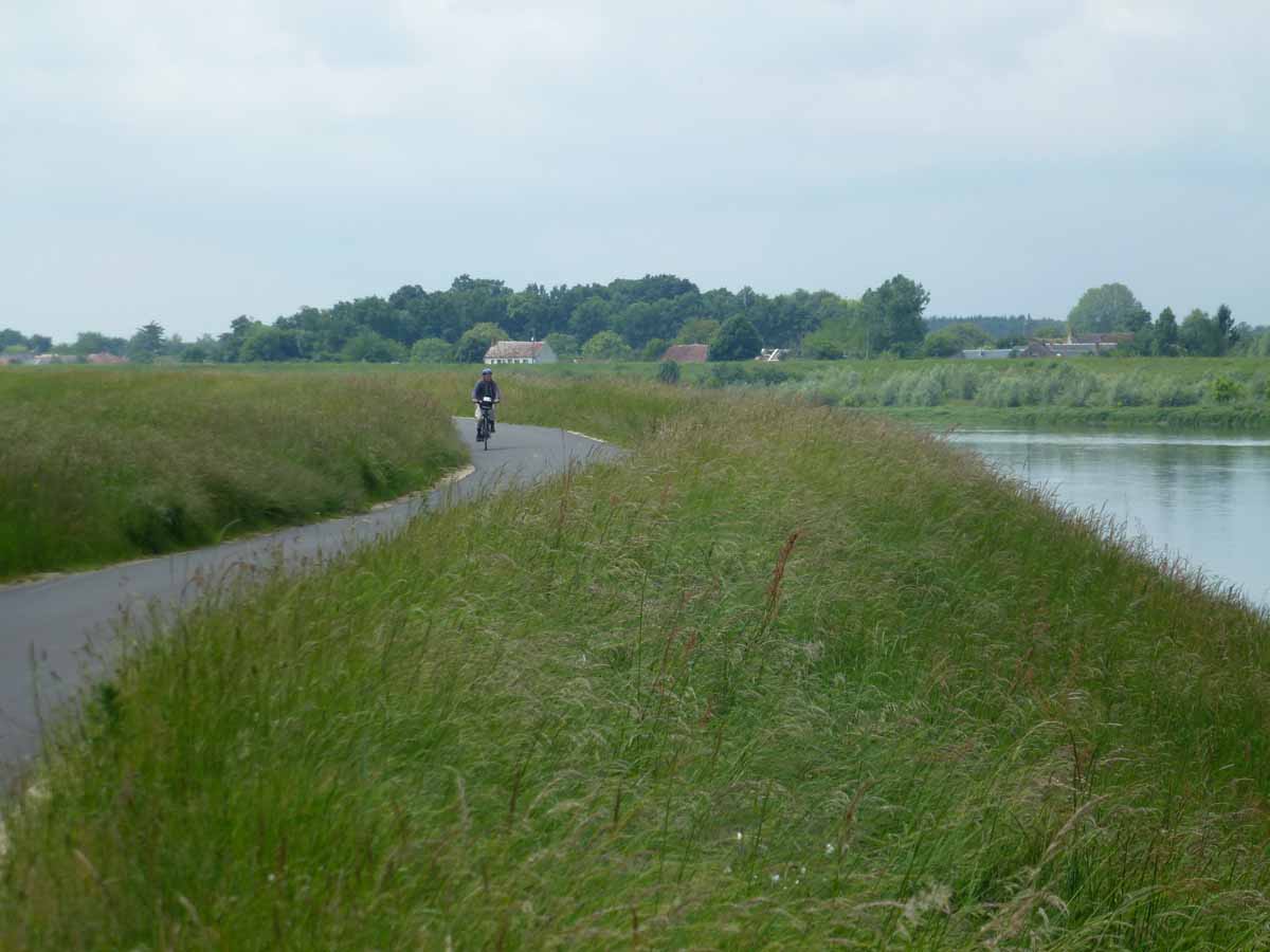
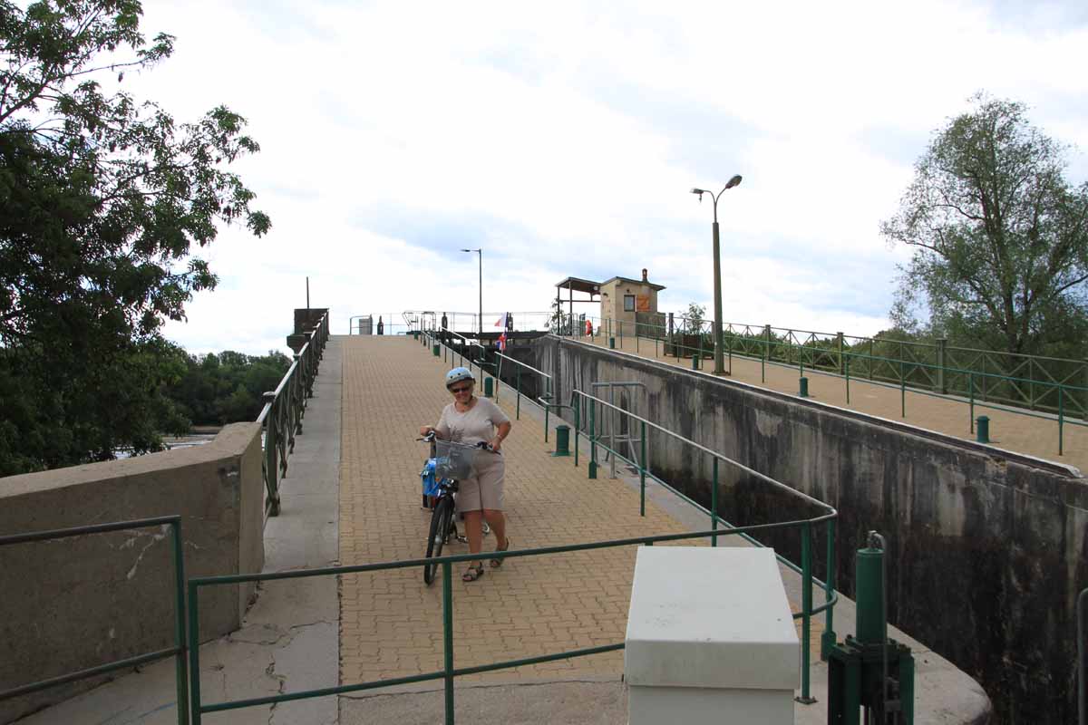
Loire by Velo
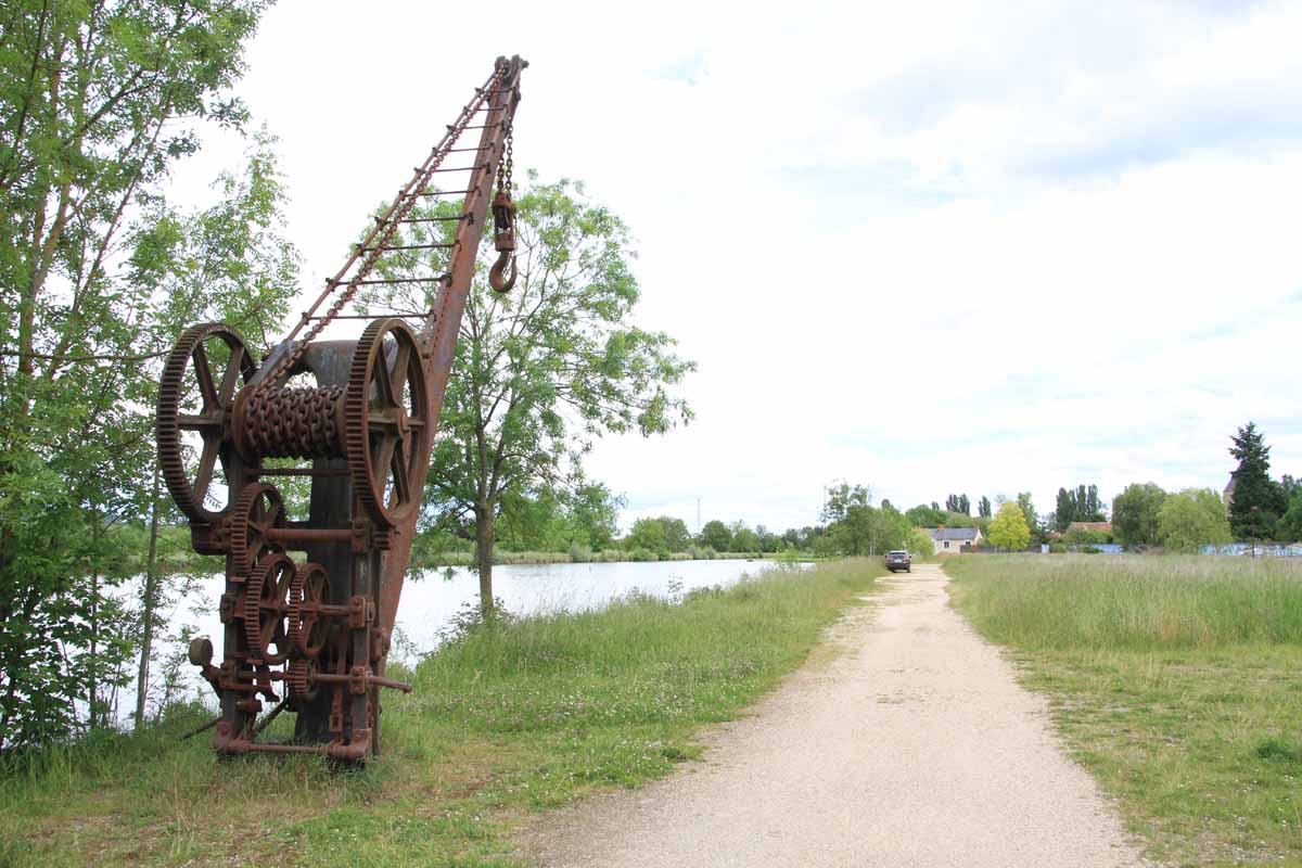
In the afternoon we cycled a section of the Loire by Bike; the long cycleway extending along much of the Loire. We went Sully-sur-Loire, St Florent, St Gondon and back, about 26 miles in all.

View from ‘La Loire à Vélo’.
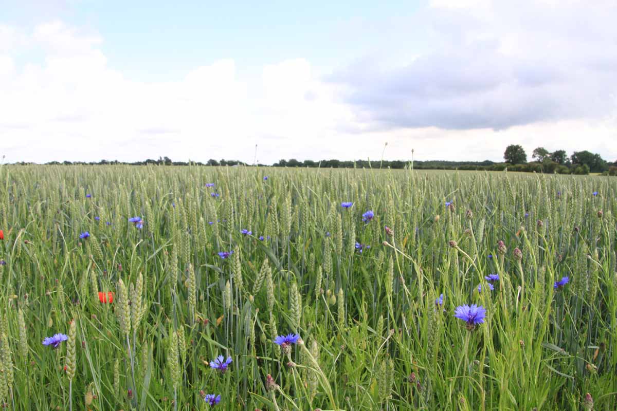
Cornflowers
The cycle ride is almost traffic free, and runs through lovely villages and countryside.